Table of Contents
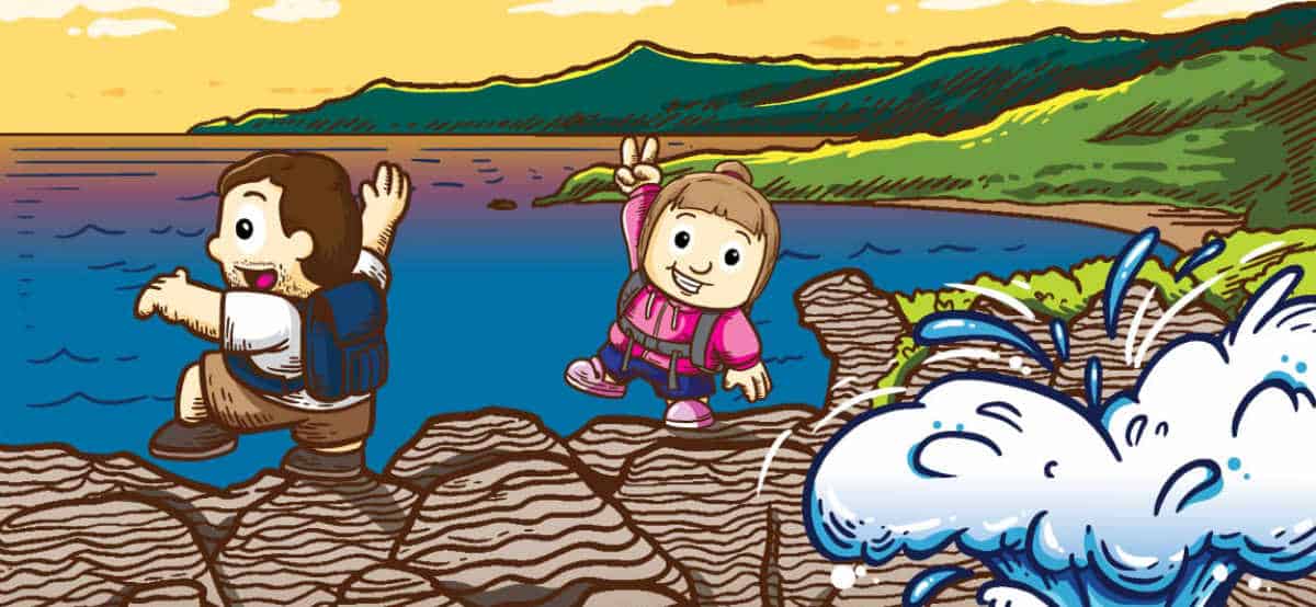
We made it back to the North Island. After a rather short night for Chris due to an allergic reaction and a lot of sneezing in Himatangi we moved on to Turangi, which is one of the closest cities to Tongariro National Park, the most popular active volcano on the North Island.
At that time, we had no clue what to expect or what we wanted to do/see over the next few days. The only reason why we drove up this way was because I had saved all the typical “Must-See” locations in my Google Maps Account and it seemed that almost all these sights are concentrated north of Lake Taupo (except for Wellington which we had seen already).
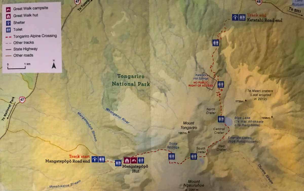
The Tongariro Alpine Crossing
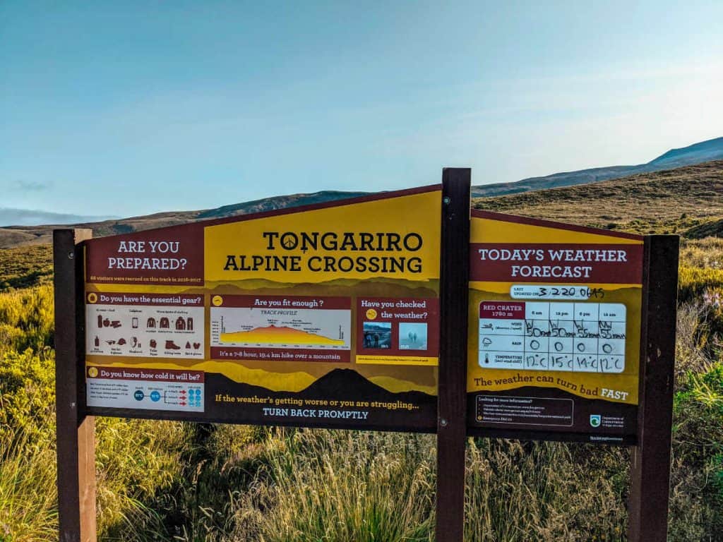
The only striking highlight along the way was the Tongariro Alpine Crossing. I had read a few articles about it before but when we arrived we weren’t quite sure yet whether we really wanted to do it or not. We also hadn’t booked any accommodation yet – so we stopped at a car park and started to do some ad-hoc research:
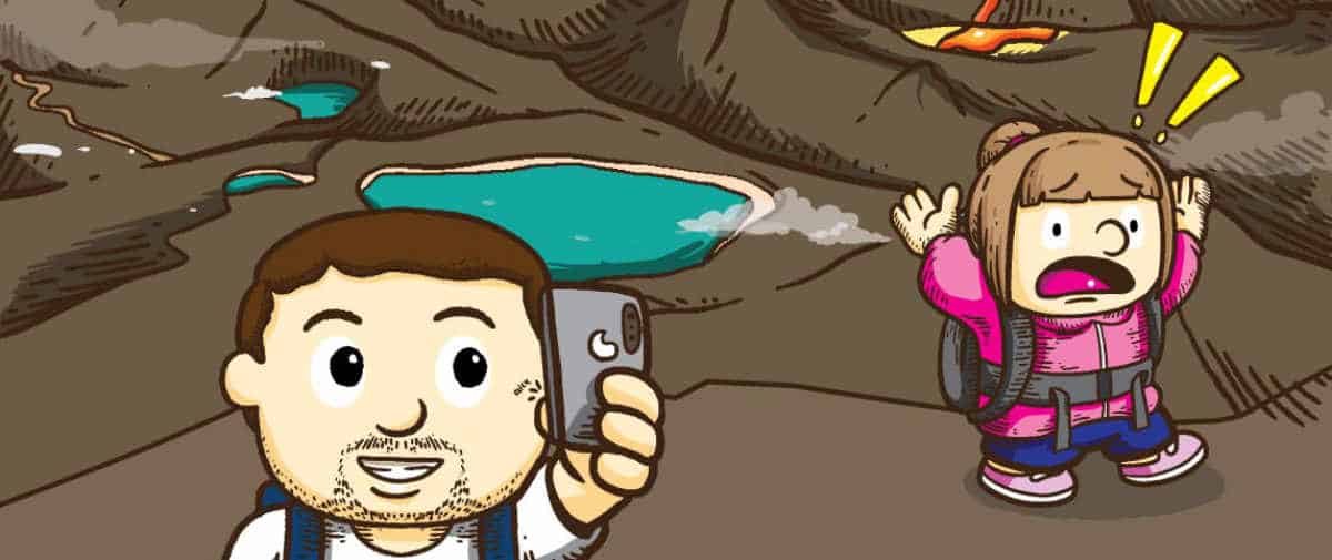
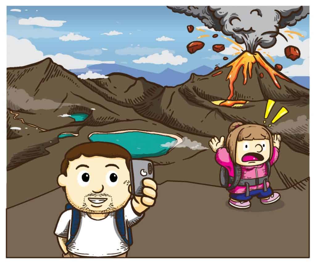
- Mount Tongariro is an active volcano
- It is also known as one of the best day hikes that you can do in NZ
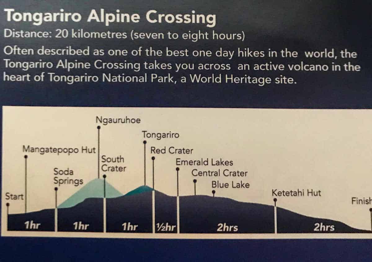
- It is a 19.5 km long, with 765 meters elevation gain, followed by another descent of 1,125 meters elevation if you hike from Mangatepopo car park to Ketetahi car park
- It takes on average 6-8 hours to walk it
- The fastest recorded time for crossing is just under two hours
- approx. 135,000 tourists complete it every year
- Since it is a one-way crossing, you park your car at the end of the hike and need to book a shuttle to get to the start of the hike
All our research beforehand indicated that you need to prepare well for this walk (proper hiking boots, multiple layers of clothes, plenty of water, sun protection, headlight, enough food…). We would usually take all of these things with us anyhow (except for the headlight maybe) but as we discovered these rather intense warnings, we decided to take them more seriously and we started to wonder if it was actually really such a dangerous hike.
We read SO MANY official warnings. The fact that all shuttles for the current day were canceled due to bad weather conditions (in the middle of summer – mostly due to strong winds) also did not help in improving our initial assessment. The weather forecast for the next day seemed fine so far except for the strong westerlies.
So we decided to get a professional opinion from a tourist information centre and ended up with a lady who clearly made a terrible career choice. Never have we ever met a less helpful person working at a tourist information center. The lady seemed almost reluctant to share any information with us. Haha, best part was when we asked her if the weather will be fine and she told us that she wouldn’t go up there with that strong wind but if we don’t mind the wind we will be fine ;P Well, hard to say if we like it or not, we haven’t been up there 🙂
Ok, not helpful, but at least she did not warn us not to go. So…we decided to go.
We quickly scanned through our backpacks to check if we have enough clothes to cover for all different sorts of weather condition, realised that Chris has no proper warm hat (fortunately the tourist Info Centre had a beautifully touristy NZ hat with a fern on offer for 12 NZD). So we bought it for Chris and booked our tickets for the shuttle. Done.
Crossing sorted out. What’s next: Accommodation.
Since we knew that we would have to get up early, we decided to rather stay in a motel/lodge to get enough sleep. We found an affordable motel like accommodation in Turangi which was perfect because it is only a 15min drive to the carpark before the Tongariro Alpine Crossing. Accommodation sorted. Next: Nutrition
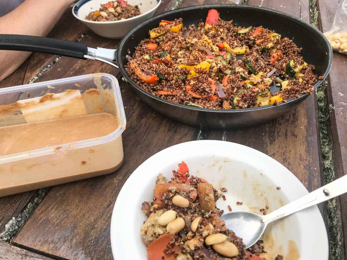
Our structural calorie deficit wasn’t really helpful for a 6-8h walk. So we decided to cook a proper meal in the evening (quinoa with veggies and peanut butter sauce – yum!), went to bed early and got up at 6 am the next morning, ready for a long day hike 🙂

It’s Time to Hike!
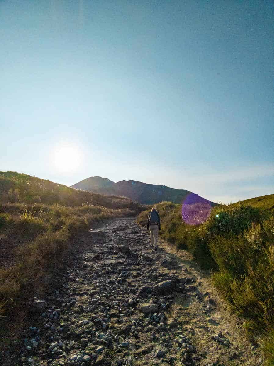
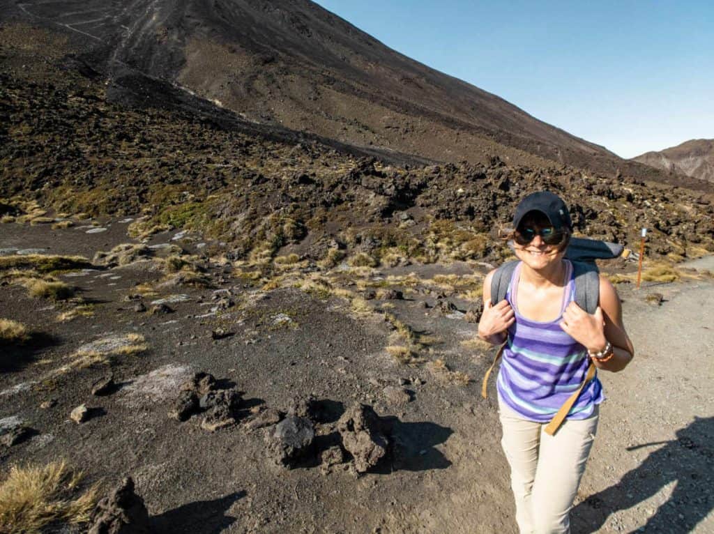
So here we were. At the car park at 7:10am waiting for our shuttle which was supposed to leave at 7:30am. The lady at the entrance of the car park seemed very thankful that we were so early. That seemed kind of weird to us at first, but it did not seem weird to us at all 35min later, when we were still sitting in our shuttle which had not yet departed since we were waiting for 3 (!) more people who were 15min late already. Turned out that they were still having breakfast in their camper van – seriously?
After another 5 minutes our driver decided to leave without them (THANK YOU!) and 20 minutes later we arrived at the other side of the mountain, the start of our hike.
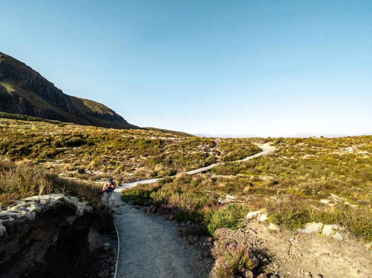
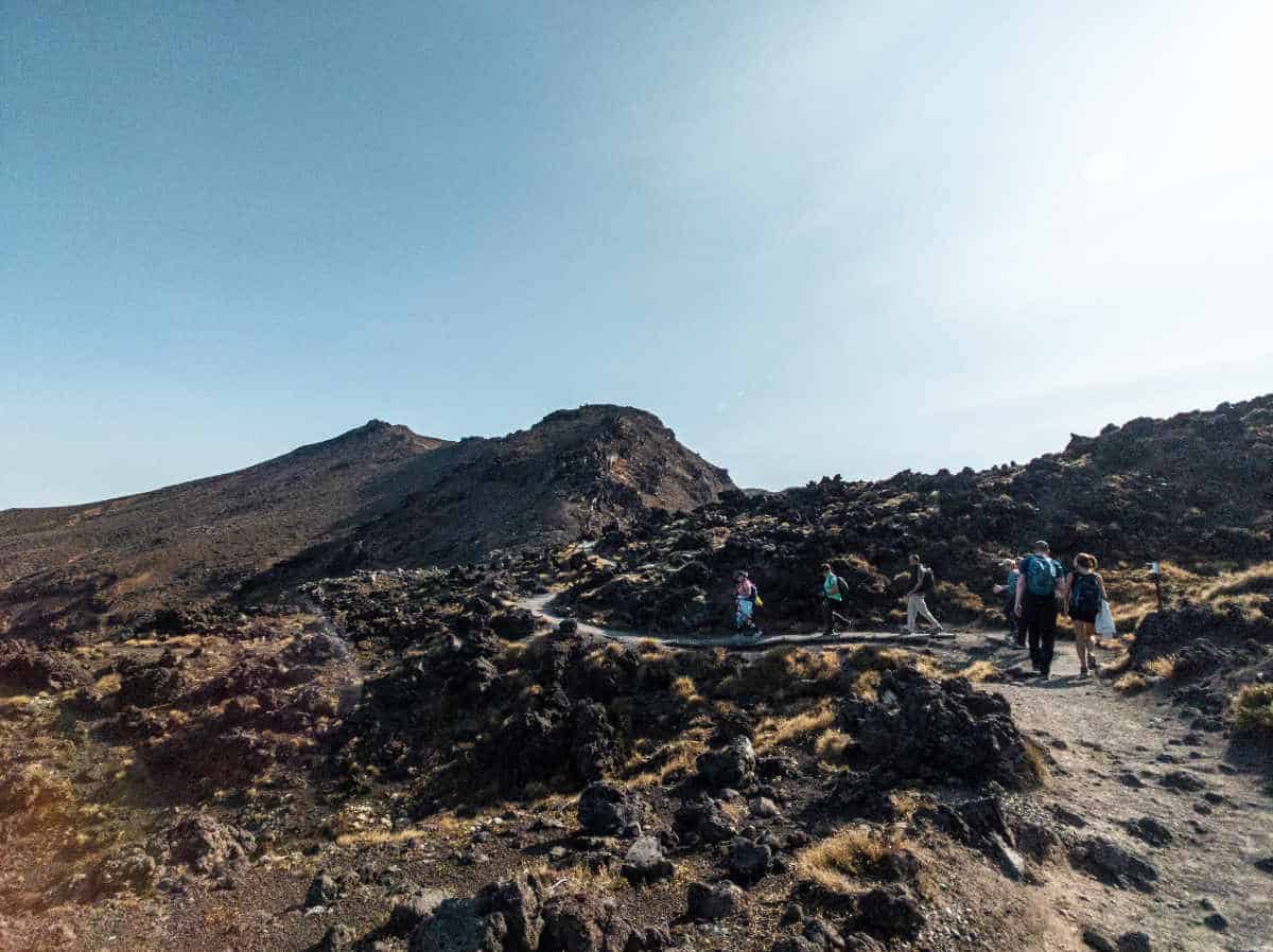
The Crossing is split into different sections, every section is clearly marked and at every section you see how long it is supposed to take to finish a section.
Throughout the last years we have done several hikes in different countries. We have done a few hikes where we ended up being 30-40% quicker than the estimated average duration of a hike and then there were other tracks where we ended up exactly with the estimated time.
So it is always hard for us to get a feeling on the actual length of a track until we actually start doing it. In this case we realised quite quickly that we are actually faster than those estimates, which is always a good thing and obviously gave us confidence that we can finished this way faster than 8 hours (mentally it makes a huge difference if you tend to be on the lower or higher end of 6-8 hours).
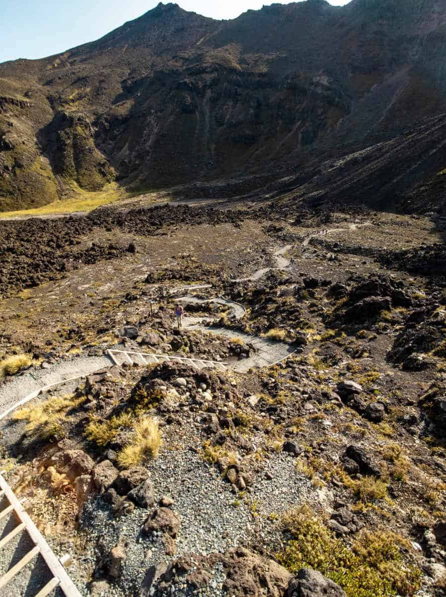
Car Park to Soda Springs to South Crater
After 45 min we reached Soda Springs. Soda Springs is another 300m off from the official track, which we decided to skip since we knew that we still have a long way in front of us and it’s really just another small waterfall. Sorry…been there, done that. Good opportunity to get past that slow group ahead of us….

We moved on to the South Crater which we were supposed to get to after 2 hours but ended up there after about 1.5 hours. It was a steep climb up the Devil’s Staircase but the track was still fine. No big rocks, proper grounding. But we also knew that this was not the hardest part. We only had a short bio break at the South Crater and then moved on to the hardest part: All the way up to the Red Crater (ca. 300m additional elevation).


360° Photosphere at the Top of the South Crater
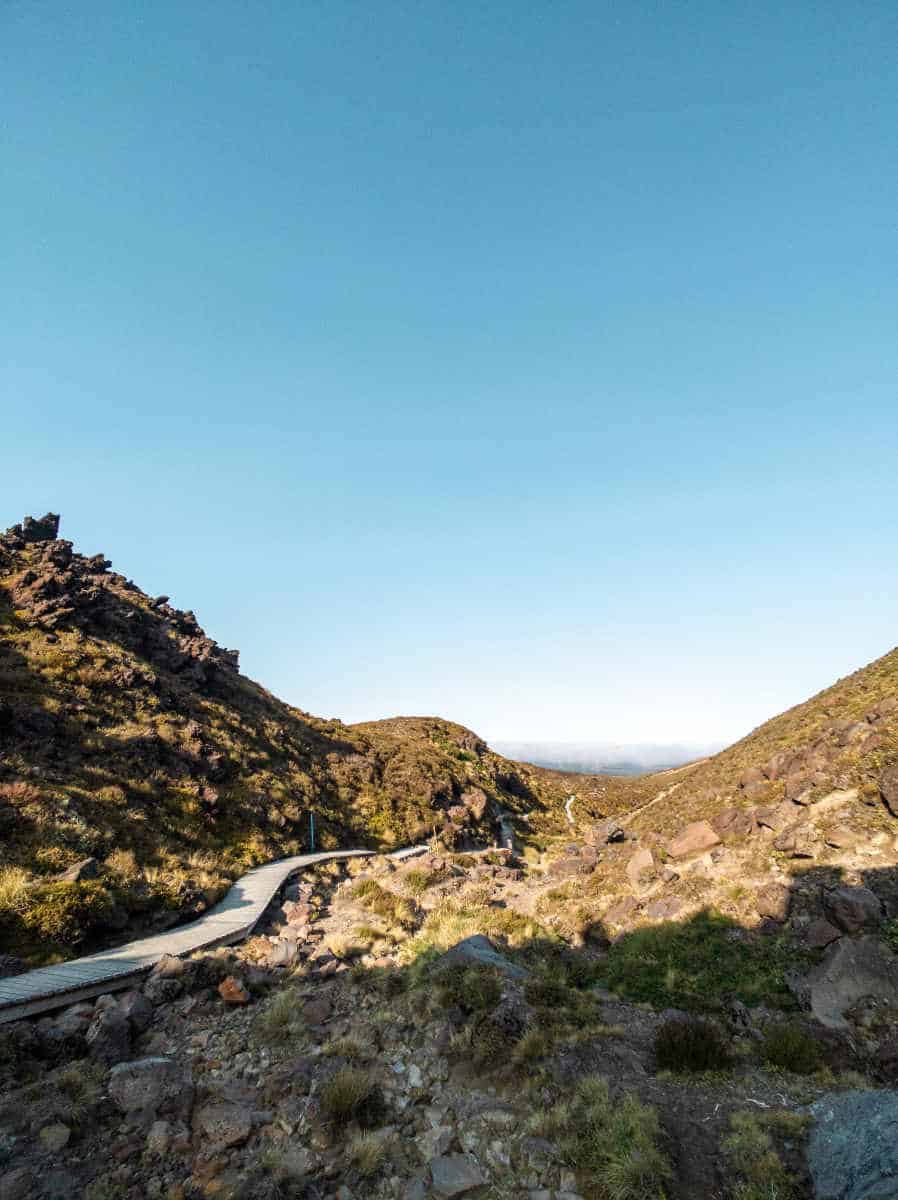
South Crater to Red Crater
That climb was indeed far worse than the first one – not necessarily because it was steeper than the first part, but because the track was much harder than the first one: A very narrow path up the ridge of the crater with a lot of huge rocks, ash and that crazy wind blowing at 55 km/h!

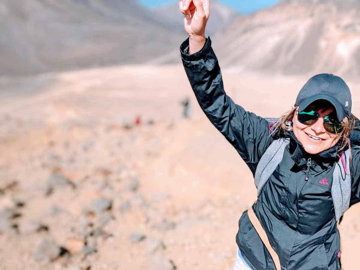
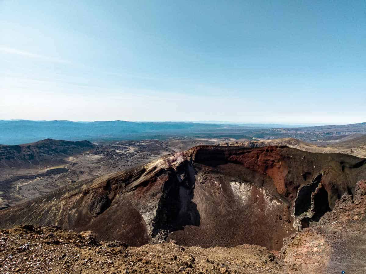
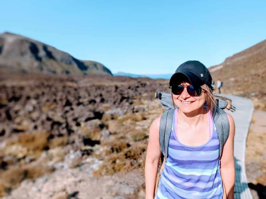
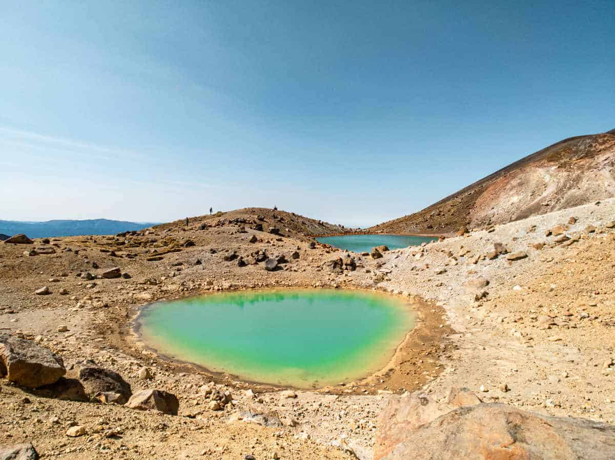
This part was the part where you are the most exposed to the wind and yes, it was very windy! The wind was definitely the most annoying part and we were quite happy that we bought that beautiful (!) hat for Chris :). We had reached the summit after roughly 3 hours. From there we could already see those beautiful turquoise Emerald Lakes.

360° Photosphere at the Summit
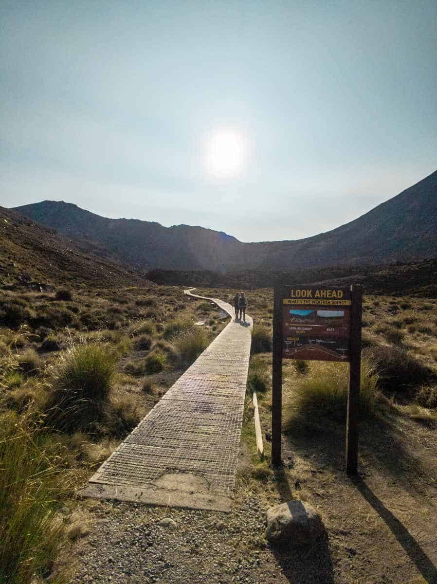
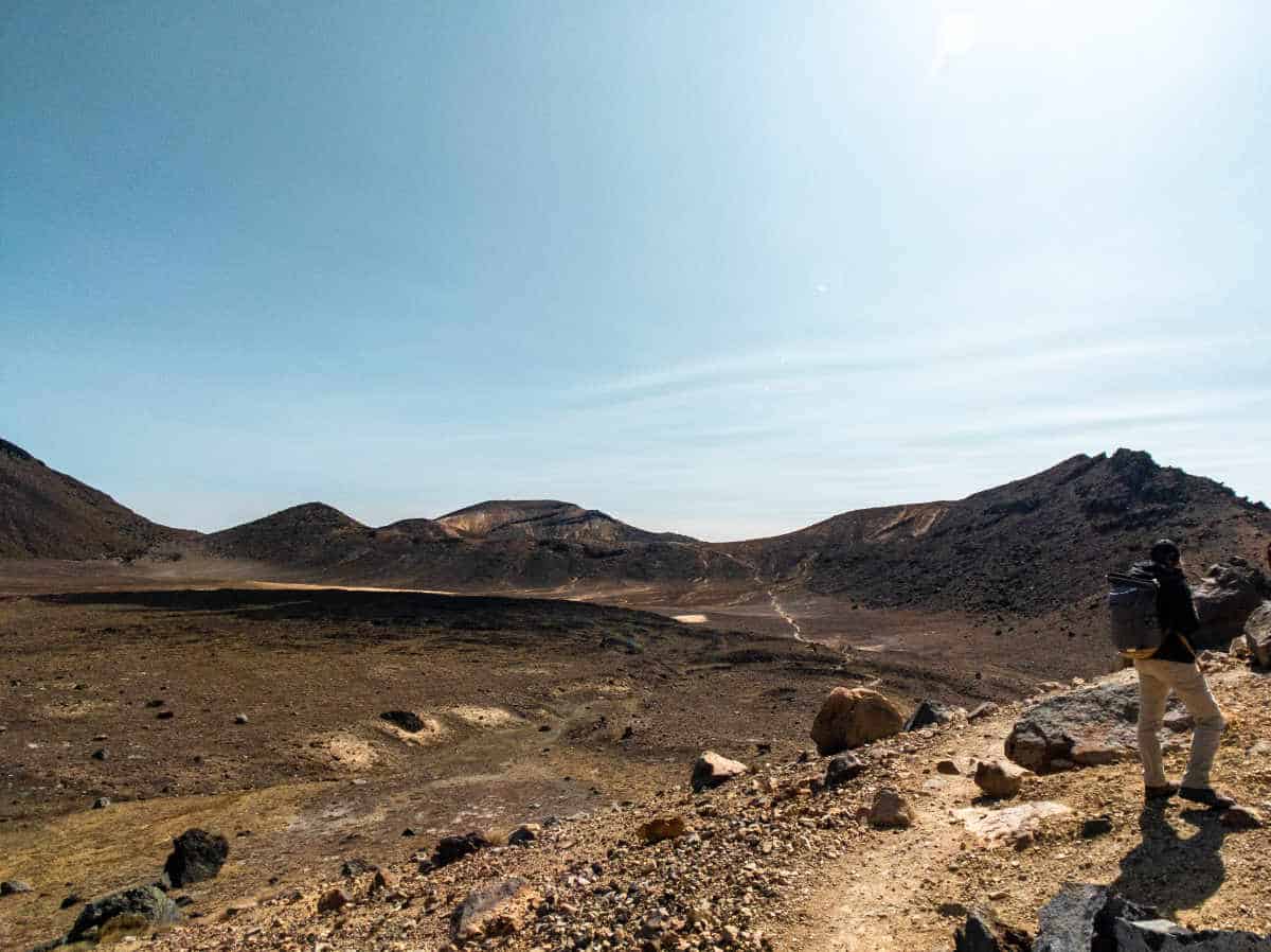
Blue Lake to Ketetahi Shelter
The next section was supposed to be hard as well (based on the research we did) since it’s a relatively steep descent and the path basically consists only of ash and gravel. A lot of people seem to have trouble with this section, because it’s inherently more slippery. A lot of people actually slide down on their bums.
However, we actually enjoyed this part. As the ash was so thick and soft, it almost felt like skiing in powder snow (sort of). Ok, second worst part done. We decided to move on for a bit and have a proper break after the last little climb before the Blue Lakes, another 100 or 150m elevation gain. That breakfast was well deserved now. We stopped for 30min, enjoyed our breakfast with a beautiful view onto the lake, awesome blue sky and sunshine and then continued our way down.
Ketetahi Shelter to Car Park
Our rough estimate was that we need another 2 hours to get down (5 hours in total excluding the break) and we were quite right about this. The only challenging part was that the way down was by far the least exciting part of the hike.

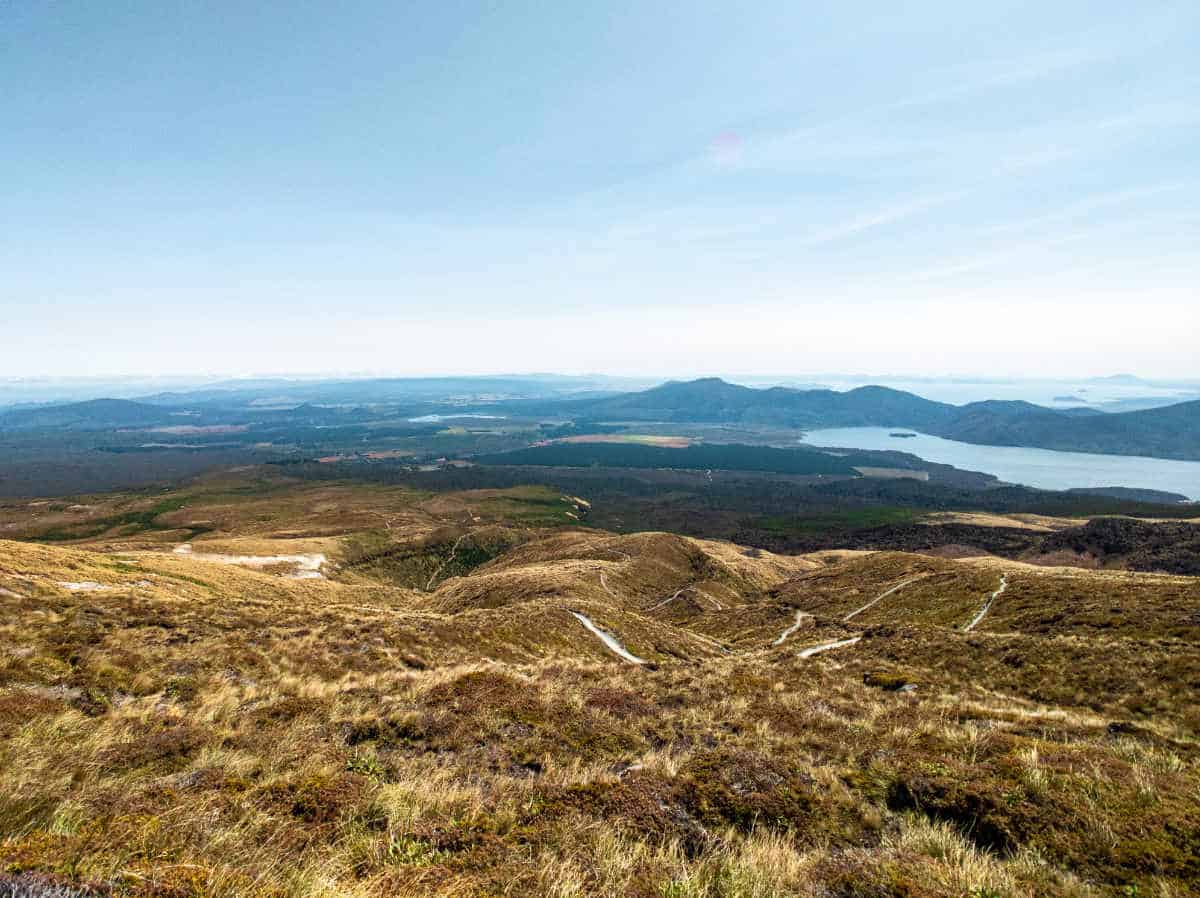
It’s not a difficult track and actually not as steep as the other sections, but it mainly consists of switchbacks and stairs and the worst part is that you can see the very end of the entire hike from the top of the mountain ALL THE TIME. It’s just incredibly far away. So we walked and walked and walked, constantly looking at the same view. It’s a really nice view, with Lake Rotoaira as a backdrop, but it gets kind of boring after a while.
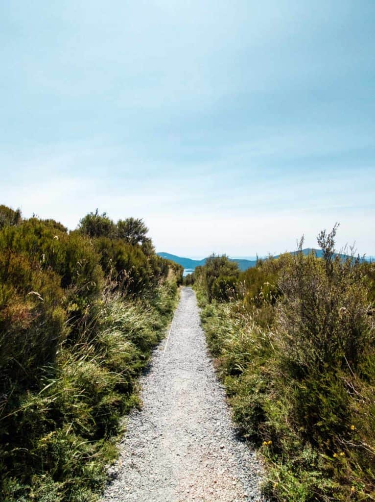
After about 1.5 hours you end up in a forest. We appreciated the shadow as the sun started to burn. But since it was a very dense forest you could never see much further than the next corner. So you didn’t quite get a feeling for the distance you still had to cover. By this time we were also a bit tired and the track just did not seem to end.
Finally after another 30min we ended up at the shuttle bus stop from where it was another 1 km walk back to our car park.
We made it in 5 hours and 30 min (including our 30 min break).
How Was It?
We were quite tired in the end. It was a long day and an exhausting hike but we must also admit that it was not the most challenging hike we have ever done. So if you have a reasonable fitness level, you will be fine and you can definitely do that. Hiking boots might help with a lot of the rocks, but Chris did the whole thing in his On running shoes and never really felt like it was the wrong decision.
We were actually quite glad that we decided to do the Crossing afterall. We especially enjoyed the first two sections of the hike and time was flying by since the track is so different in each section and you end up seeing such a beautiful landscape. I have never seen a crater before and never climbed up a volcano before.
Since it is an active volcano, you should definitely check the current activity of the volcano before you go 😉


2 comments
Great content! Super high-quality! Keep it up! 🙂